HOME
ABOUT
GET INVOLVED
WHAT'S NEW
RESOURCES
2013 Public Meeting
2012 Public Meeting
Station 3: A snapshot of our current transportation system
<--Back to: Planning for more than just cars
Continue to: Understanding how traffic operates -->
Your issues with I-81
Google Maps
JavaScript must be enabled in order for you to use Google Maps.
However, it seems JavaScript is either disabled or not supported by your browser. To view Google Maps, enable JavaScript by changing your browser options, and then try again.
Click on the markers at left to see what other people have said.
<--Back to: Planning for more than just cars
Continue to: Understanding how traffic operates -->
IN THIS STATION
Our current transportation system
The I-81 physical conditions analysis
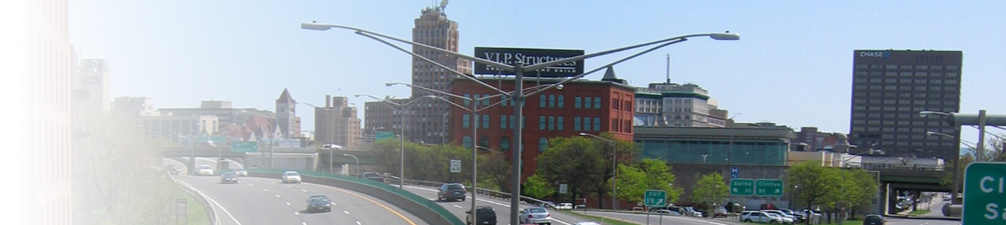
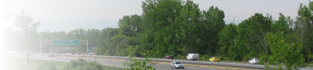
The I-81 traffic challenge
Traffic volumes on I-81
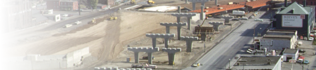
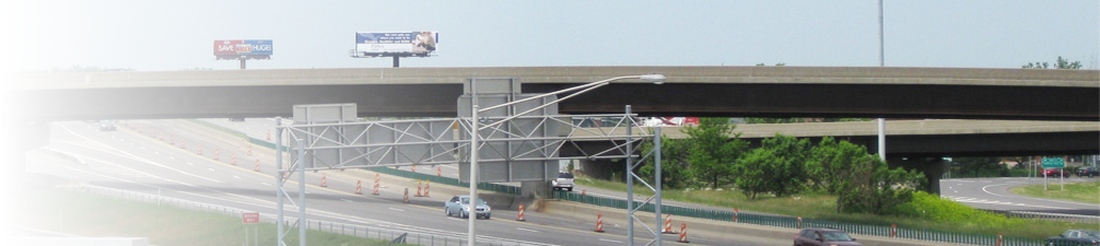
The I-81 bridge challenge
Highway & bridge conditions
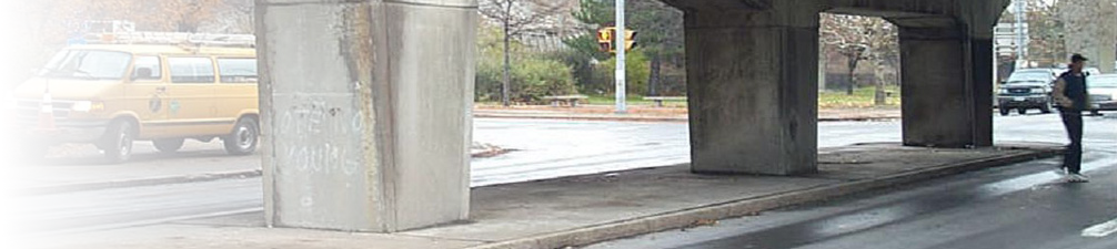
The I-81 safety and congestion challenge
Design, congestions & safety deficiencies
Roadway deficiencies
Bridge, traffic & safety deficiencies deficiencies
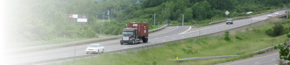
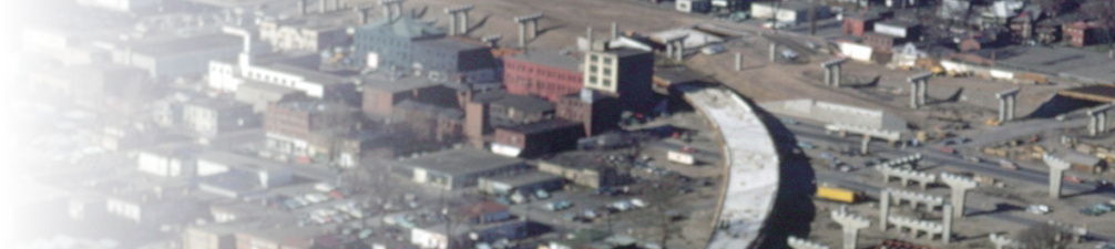
I-81 regional challenge
Regional interstate traffic on I-81
Planning for more than just cars
Your issues with I-81
(Download a
PDF
of this entire station)
EXPLORE ANOTHER STATION
Introduction
1: The I-81 Challenge
2: The history of I-81
3: A snapshot of our current transportation system
4: Understanding how traffic operates
5: The transportation - land use relationship
6: Case studies of urban freeways
7: Your vision for our region
8: Evaluating future options
9: Staying involved